Blind Stream has always drawn my attention as a place that requires more time and investigation to unlock its secrets. We have found a few interesting things there over the years but with the many stories of what could lie hidden here, we may have only scratched the surface.
Tree map
This tree once stood in a small clearing just off the main road up Blind Stream but has since been cut down and removed. This symbol has several potential meanings:
The heart can signify “Kings Mine” or “Mine of reales y placeros“.
The arc could mean, #1. Silver #2.Cave #3.Smelter #4. 100 or #5. Three (as you can see this is not an easy task)
The six lines most likely signify 6 varas deep, or 6 varas away.

A map was carved on the opposite side of the tree and appears to show the layout of the canyon and the route to be taken to the mine or cache. The small lines would represent how rich the treasure or mine is.

We have searched the area of the canyon that we believe it was leading to with no avail. Maybe you’ll come up with something we didn’t?
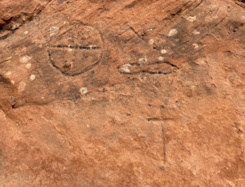
Sacred Bird Symbols
These bird symbols are found directly on the road up Blind Stream. Gale again misstates in his book “
Lost Gold of the Uintah” that these are found “in Log Hollow”. He also states that these are “a sacred symbol for the Utes and could either lead to the Brigham Young Mine or Sacred Eagle Mine.
Old Mine
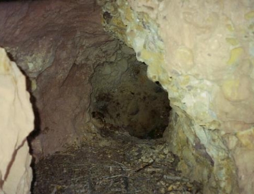
Anyone who travels this road will see the mine in the photo below on your way to Lake Basin. So far I have not been able to uncover any history to this mine. It does not appear to show up on any Spanish or USGS maps. The mine is filled in just a few feet back, but according to the tailing pile the tunnel probably never extended back a good distance.
Square Cut Tunnel
George Thompson relates the following story in his book “
Faded Footprints” on pg. 52.
“An Abandoned logging road leads northward from the Blind Stream road just before it crosses the summit to drop steeply down into Rock Creek Canyon. Trees with treasure symbols carved into their bark mark an old foot trail which follows that ridge up country to where high cliffs tower above. A strange looking square-cut tunnel was driven into the face of that cliff a long time ago, while near the base of the cliff there is a shaft at least one hundred feet deep. Chad Hartman of Kamas Valley discovered a prospectors mortar and pestle close by those old diggings. He’s not telling exactly where he found it because there were still pieces of high grade ore in that mortar. He wants to do a little more prospecting first, for that gold ore must have come from somewhere pretty close by.”


Leave A Comment