The Daily Record, Salt Lake City, Utah, June 23, 1958 printed the following:
Lost Rhoades Gold Mine Discovered Recently By Bullock Mines – Metals Discovery of the lost Rhoades Gold Mine west of Moon Lake in Duchesne County, Utah, was announced this week by Mr. Ben H. Bullock of the Bullock Mine, Metals and Oil Corporations of Utah.Mr. Bullock stated that the mine was located by instrument test and through use of an old buckskin map drawn by Caleb Rhoades. The map is owned by Mrs. Mary Steele of Goshen, Utah. The mine was discovered by Mr. Bullock and his son, Vein Bullock, 100 W. 960 N., Provo. In an interview with Mr. Bullock, he stated that the mine was originally discovered by Indians living in that area. “Caleb Rhoades,” he continued, “was liaison between the Benjamin Hart Bullock-farmer and miner. Born Oct. 27, 1878. Son of Benjamin Kimball Bullock, one-time mayor of Provo, Utah. (Utah State Historical Society)Indians and Brigham Young who was believed to have used the gold to mint money used by the settlers in the Salt Lake Valley.”The gold vein,” said Mr. Bullock, “is 600 feet in width by 2,000 feet in length in a contact vein between porphyry and quartzite. Operation of the mine will begin soon,” he continued.

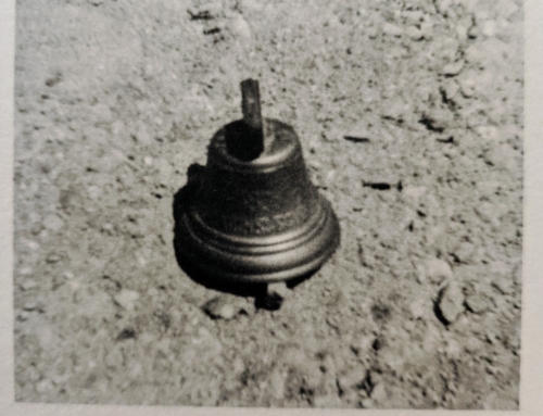
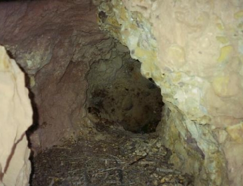
Not much is left of this old Spanish Mine. After discovery, it was decided to open the shaft using a bulldozer to expose the vein. But within little time the original shaft was completely caved in. Shortly thereafter Mr. Bullock passed away and the operation was canceled. Several other attempts were made to reopen the shaft, but all have been unsuccessful.
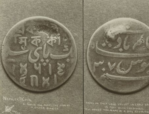
The map below was published in Gale’s book “Lost Gold of the Uintah” and was supposedly one of the maps that Thomas Rhoades found at the site of the Chicken Creek Massacre.

Another story is told in George Thompsons book “Faded Footprints of the same area.
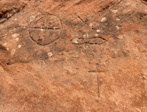
“Stan Brennan, a gray-bearded Mountain Man type, has spent a lot of time at Bear Wallow. About four miles north of Mountain Sheep Pass, Brennan discovered a place where there are many old Spanish signs cut into large and obviously very old trees. By following those signs he came to an old log cabin. In the pine forest close to that rotted old cabin he found the remains of a corral, so dilapidated that it was hardly recognizable. That corral and cabin are not very far away from the 1856 Pine Mine. Wayne Nelson also found that old corral many years ago, but at that time there were still some old-fashioned leather ore sacks there, what Spanish miners called “zurrons” or “cueros.” According to Nelson, the Jeep road through Bear Wallow and to the 1856 Pine Mine and Monument Knoll beyond was built by Les and Dan Pope. Cecil Dalton had been working an old diggings near there and he told the Popes about his claim. When Dalton returned several weeks later he found the Popes in possession of his diggings. Angry words erupted into a brief shoot-out, with gun shots being exchanged by both parties, but with no one being hit or injured.
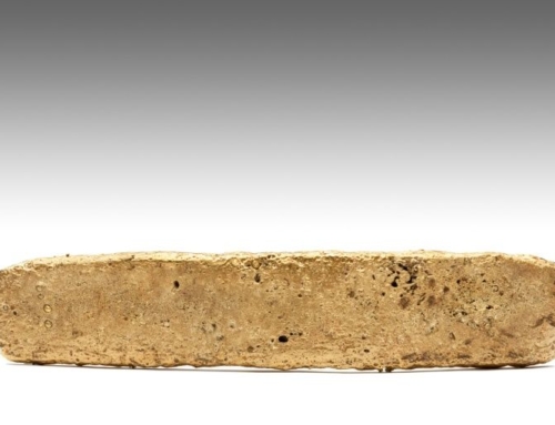
Nelson and his Indian partner, Alonzo Jim, prospected well beyond Monument Knoll, into the cliffs and ledges near the headwaters of Brown Duck Creek. Along an old pack train trail they picked up several pieces of black colored rock, heavy with visible gold. Alonzo Jim told Nelson that ore came from the Red Man Mine, and was probably dropped from pack animals carrying gold ore from that fabulous diggings. He never told Nelson exactly where the Red Man Mine was located, other than that it was further around the head of the canyon, well hidden along a line of dangerous vertical cliffs. In later years Nelson made a few attempts to locate that fabled digging without any luck, and he thinks it would be harder to find now, more than forty years later.” pg. 122
Leave A Comment